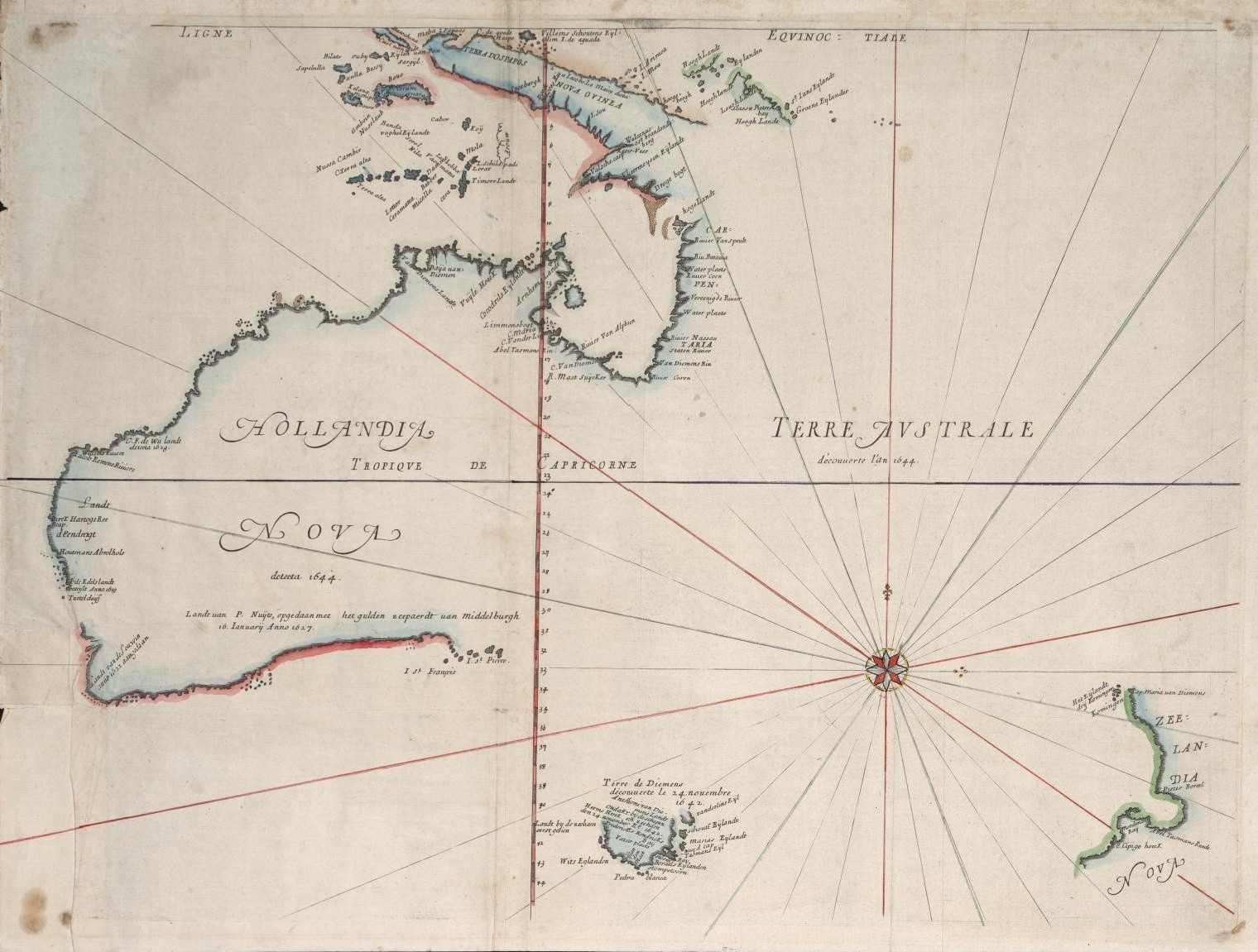
This early map of Australia was drawn in 1659 by Dutch Cartographer Joan Blaeu based on voyages by explorers Abel Tasman and Willem Janszoon, both his countrymen. The latter had made the first known landing in Australia by Europeans in 1606, followed by other Dutch navigators who explored the western and southern coasts in the 17th century, dubbing the continent “New Holland.” (Click image to enlarge)
Source: Wikiwand
 Donate


Related Posts
22,000 Years Ago, Aboriginal Miners Descended 70 Metres Into Koonalda Cave to Gather Flint in Complete Natural Darkness
Finally, a World Map That Gets It Right: The AuthaGraph Projection
Tabula Peutingeriana: The Most Extensive Surviving Map of the Roman Empire Is the Only One to Show Its Vast Road Network
This Is the Oldest Known Map of the World, Made in Babylon About 2,600 Years Ago
Could These 4,000-Year-Old Aboriginal Cave Paintings in Australia Really Depict Aliens?
Nightmare Fuel Around the World: What “Boogeyman” Looks Like in Different Countries
Ancient Treasure Unearthed: Remarkable 280-Million-Year-Old Fossils Found in Western Australia
World’s Most Dangerous Bird Pays Surprise Visit to Local Carpenter Shop in Australia
This Interactive Map Shows You What Native Land You’re Living On
This 61-Year-Old Australian Farmer Completed a 544-Mile-Long Ultramarathon in Record Time, Wearing Rubber Boots