About 1.874 billion hectares (roughly 12.6 percent of the global terrestrial area) of Earth’s surface is covered by croplands. This map shows their distribution derived primarily with Landsat imagery using Google Earth Engine’s machine learning algorithms. It would be interesting to compare this map to a similar one made in 30 years’ time.


Last update on 2024-05-19 / Affiliate links / Images from Amazon Product Advertising API


Last update on 2024-05-20 / Affiliate links / Images from Amazon Product Advertising API


Related Posts
The Incredible Story of Yevgeny Gvozdev, Who Built a Miniyacht on His Balcony and Then Sailed Around the World on It
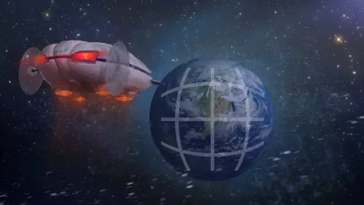
The Indian Ocean Has the World’s Largest Gravity ‘Black Hole’ and It’s Finally Explained
Tabula Peutingeriana: The Most Extensive Surviving Map of the Roman Empire Is the Only One to Show Its Vast Road Network
A City That Fills Its Tiny Island Completely: Malé, One of the Most Densely Populated Places on Earth
This Is the Oldest Known Map of the World, Made in Babylon About 2,600 Years Ago
China’s Copycat Cities Are Eerie Replicas of Paris, London, Venice, You Name It – But Why Were They Built?
The Center of The Universe: If You Stand in This Circle in Tulsa, Oklahoma, You Will Experience a Unique Acoustic Anomaly
Kummakivi: Finland’s Enormous Balancing Rock That Defies Gravity
Diamond Head: Hawaii’s Iconic Volcanic Jewel
Tibet’s Great Sakya Library Houses 84,000 Scrolls Untouched for Centuries and Has the Heaviest Scripture in the World