Coastlines of the Ice Age on Amazing Relief Maps

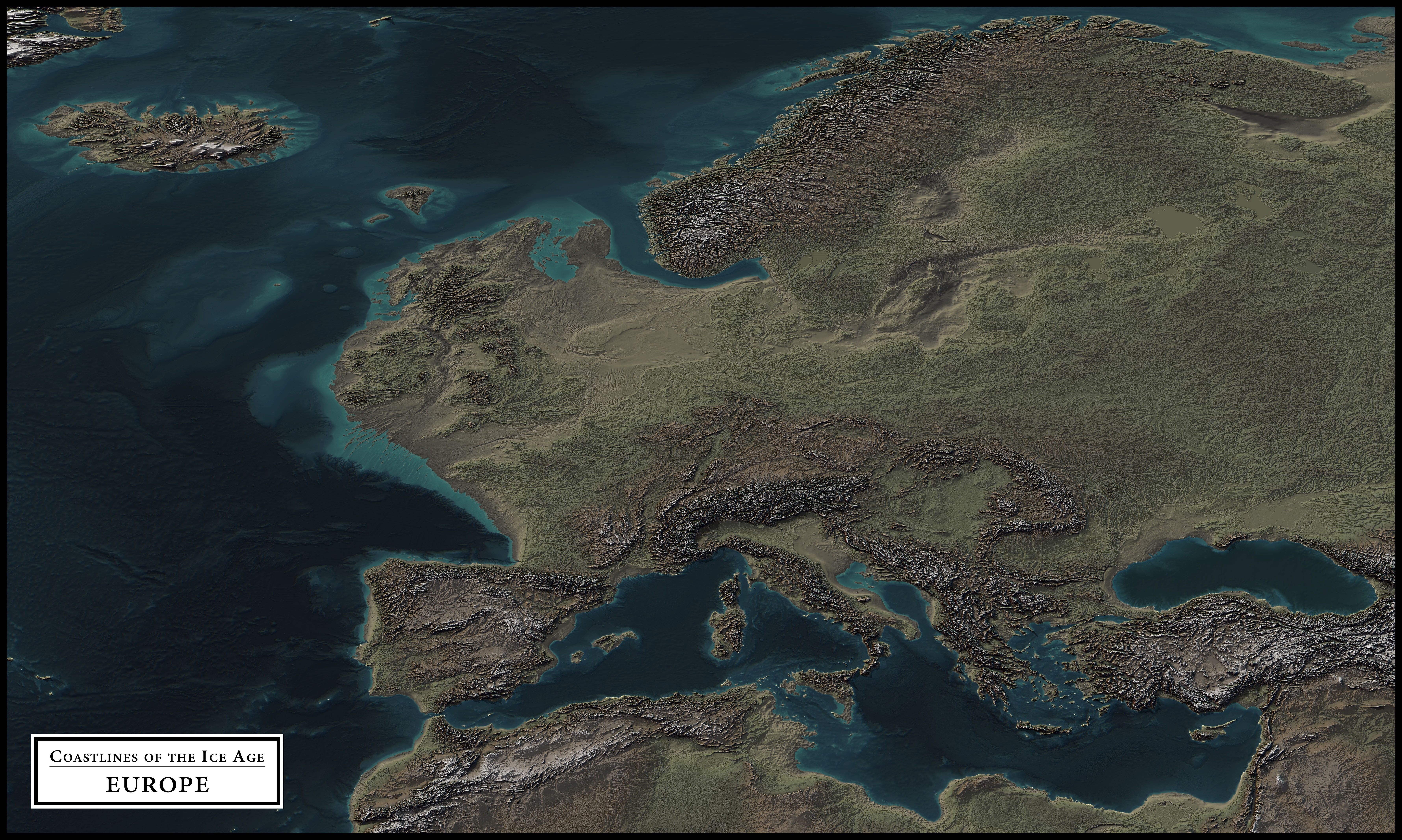
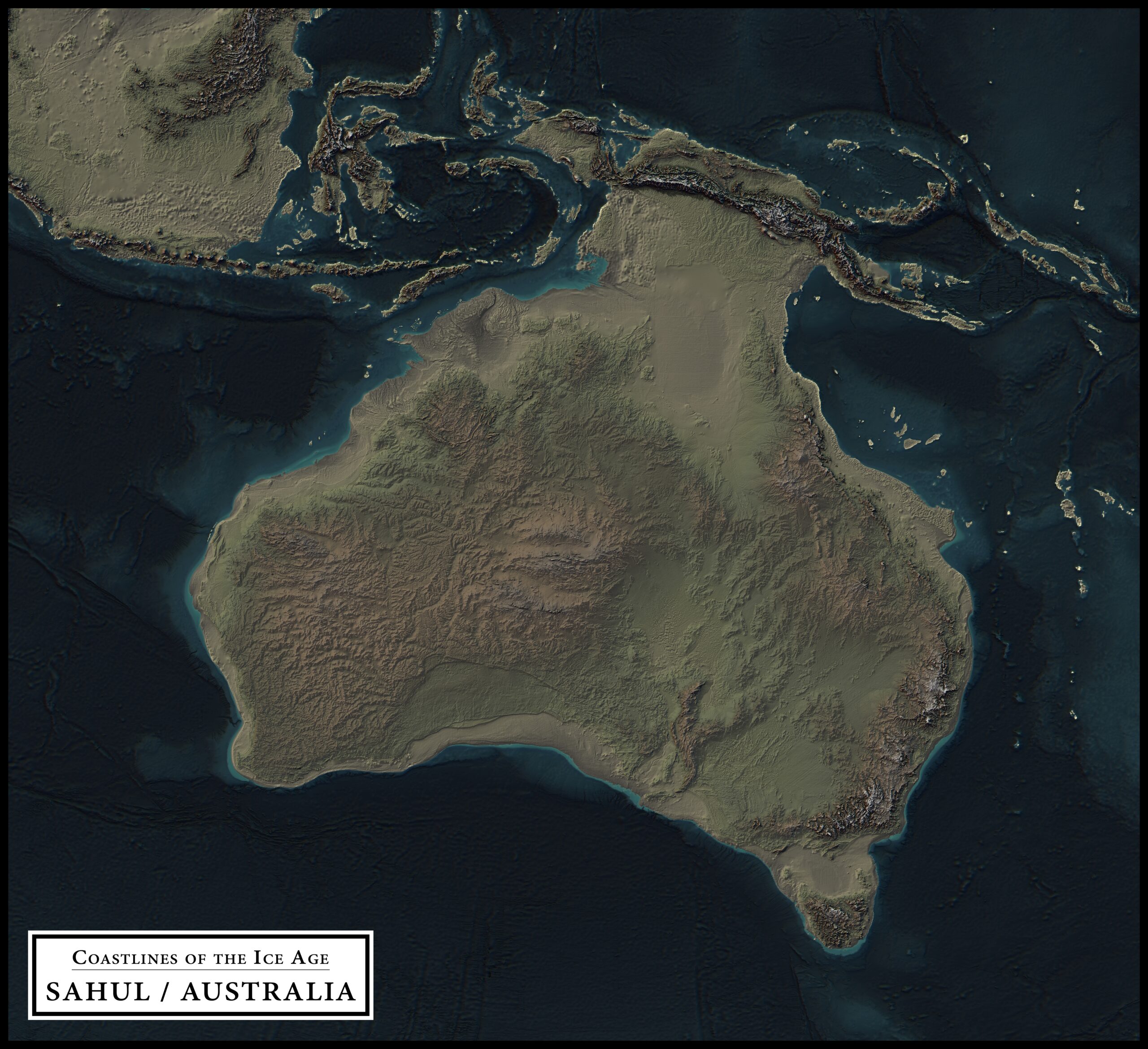
These amazing and very detailed maps by atlas-v7x show what different parts of the world may have looked during the Last Glacial Maximum, around 21,000 years ago, when sea levels were approximately 125 meters (410 feet) below present. (Click images to enlarge)

coastlines of the ice age central america
coastlines of the ice age middle east
coastlines of the ice age europe
sundland ice age
coastlines of the ice age east asia
coastlines of the ice age sahul / australia
coastlines of the ice age aotearoa new zealand

    Stay part of the Mission! Get our latest articles to your inbox!

    coastlines of the ice age south asia

    Earthly Mission is done by two guys driven by the love for what we are doing. Please kindly consider keeping us going – every bit helps!

    DonateDonate
    Written by Tamás Varga
    Photo of author
    A sociologist and English major by degree, I've worked in the area of civil society & human rights and have been blogging in the fields of travel, nature & science for over 20 years.

    Check out my other project (especially if you're planning to visit Budapest soon) 👇

    Day Trips from Budapest

    2 thoughts on “Coastlines of the Ice Age on Amazing Relief Maps”

    Leave a Comment

    Your personal data will be treated securely and will not be disclosed to third parties. By clicking this button, you authorize Earthly Mission to process the personal data you provide. For more information, see Terms of Use and Privacy Policy.

    Earthly Mission
    error: